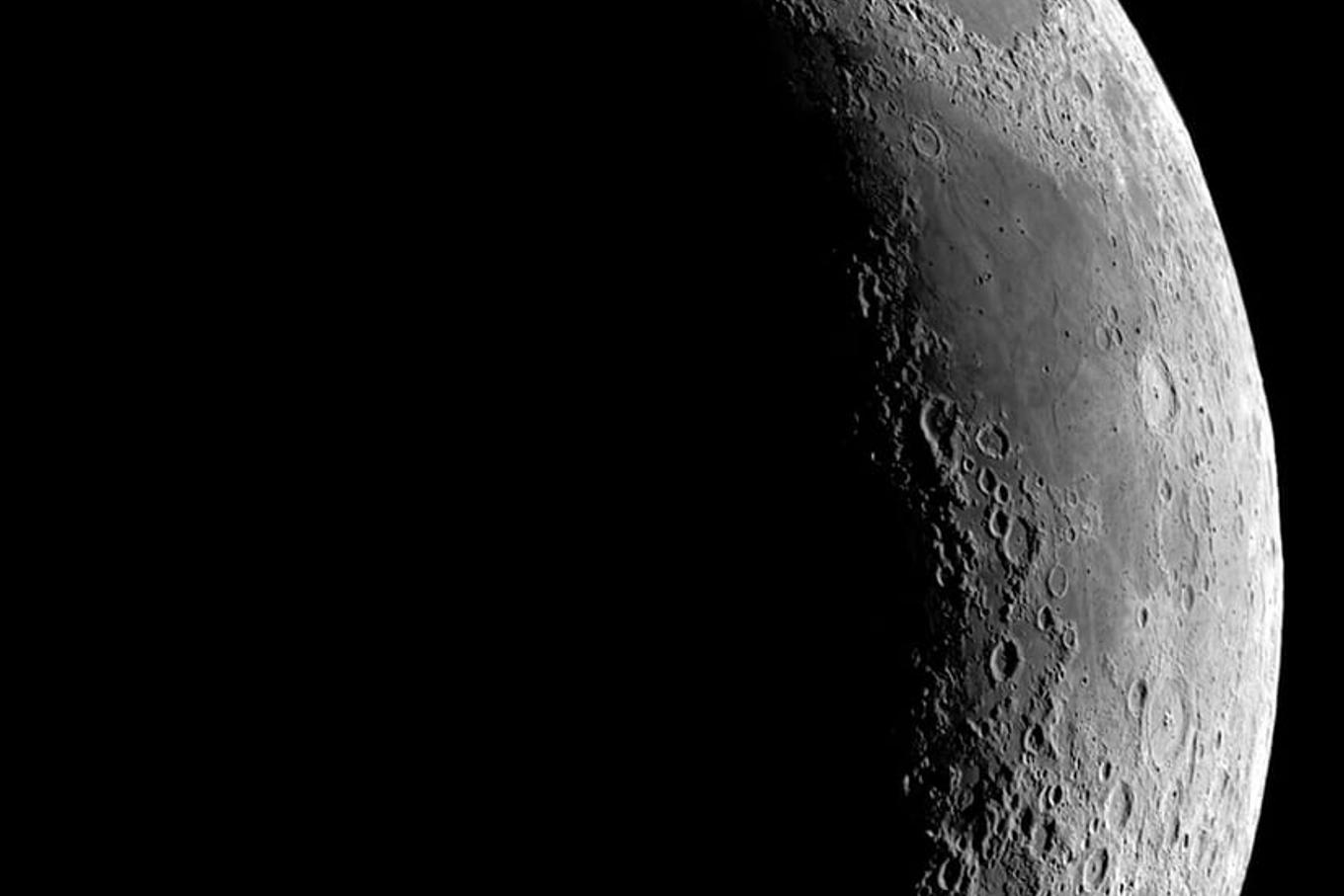
A Massachusetts company is using six decades of NASA imagery to help commercial space firms work out where on the Moon they might one day land, mine and live. Lunar Station Corp, based in Cambridge, is combining data from multiple NASA sensors and other space agencies to model conditions across the lunar surface, according to NASA’s Spinoff programme, which documents commercial uses of the agency’s technology.
The Moon’s surface holds resources of genuine industrial value, including water ice and metals such as iron and titanium. But extracting them will require knowing precisely where they sit, since equipment, landing sites and mining routes all depend on local terrain and resource concentration.
Turning old NASA images into terrain maps
Lunar Station’s CEO Blair DeWitt described the scale of the resource his firm draws on. “With 60 years of lunar data available to us, we help our clients understand the environmental factors for any given location on the Moon,” he said. Combining data from different sensors and different agencies, he added, is a critical first step before any mission planning can begin.
One key tool is NASA’s Ames Stereo Pipeline, open-source software that processes satellite images, rover photographs and historical archives into three-dimensional terrain models showing rock placement and elevation. Lunar Station’s MoonHacker platform then fuses this with NASA’s Planetary Data System to search for indicators of shallow lunar water, potential landing pads and viable rover paths, DeWitt said, noting that communications planning is especially difficult at the poles or the Moon’s far side, where a direct line of sight to Earth is not possible.
Why the water question still isn’t settled
Despite the volume of data, basic questions about lunar water remain open. Gerry Sanders, in-situ resource utilisation lead at NASA’s Johnson Space Center, has said that while orbital sensors and Apollo-era samples have given scientists a reasonable picture of lunar regolith generally, the exact location and form of water in permanently shadowed craters is still poorly understood.
“We have reasonably good information about the lunar regolith itself through orbiter sensors and the Apollo samples,” said Sanders. “But we don’t know a lot about where or in what form water might be in permanently shadowed craters.”
A step toward answering that came in 2009, when NASA’s Lunar Crater Observation and Sensing Satellite deliberately crashed its upper stage into the Moon’s south pole. Instruments examining the resulting debris plume confirmed the presence of water ice, a finding that has shaped where later missions, commercial and governmental, have focused their search.
A European stake in the lunar resource race
The push to map lunar resources is not confined to the United States. The European Space Agency has its own Prospect package, built with a drill called ProSEED and an analysis laboratory named ProSPA, due to fly to the Moon’s south polar region as part of NASA’s Commercial Lunar Payload Services programme. The instruments are designed to drill up to a metre into the surface and test for water ice and other volatiles at temperatures as low as minus 150 degrees Celsius.
Luxembourg-based ispace-EUROPE is also active in the field. The firm signed an extended contract with ESA in June 2025 to develop the MAGPIE mission, which will search for water ice deposits in the lunar south pole, following its TENACIOUS rover mission earlier that year. ESA has separately called for industry partnerships aimed at producing drinkable water or breathable oxygen on the Moon, describing the effort as central to reducing the cost of future lunar exploration.
Legal scholars have cautioned that the technical progress is outpacing the rules governing it. A recent analysis published via The Conversation noted that valuable lunar resources such as water ice and rare metals are concentrated in a small number of contested regions, and that the absence of binding international governance leaves open the risk of overlapping claims between states and companies racing to stake out the same territory.
For now, work like Lunar Station’s remains preparatory: building the maps and models that will let public agencies and private companies decide, years before any mining begins, where on the Moon it might actually be worth digging.
This article is free to read. It always will be — no paywall, no account, no tracking.